
HIDDEN LONDON 隱藏的倫敦
The Complete Authority Guide
Greater London contains 33 local authority districts:
Inner London Boroughs (14)
- Camden
- City of London
(different from Central London)
 Lawrence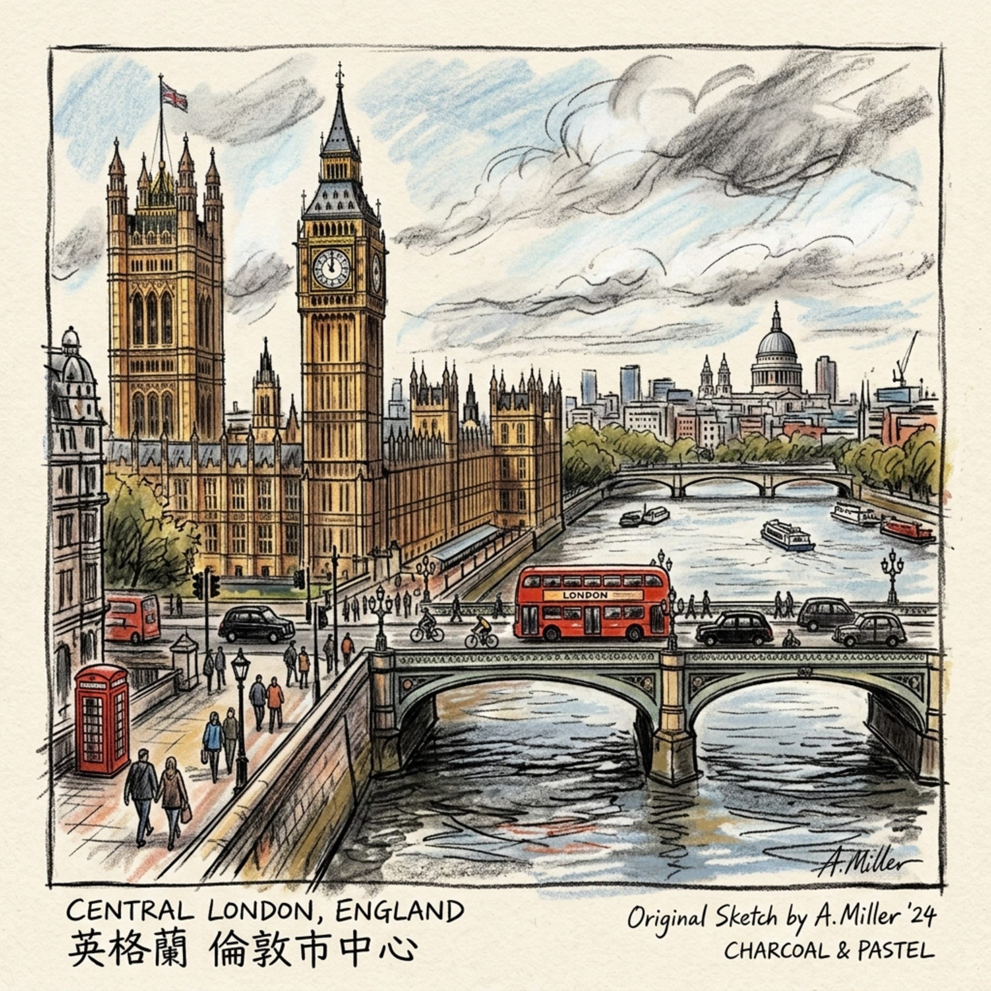
- Hackney
- Hammersmith and Fulham
- Haringey
- Islington
- Kensington and Chelsea
- Lambeth
- Lewisham
- Newham
- Southwark
- Tower Hamlets
- Wandsworth
- City of Westminster
Outer London Boroughs (19)
- Barking and Dagenham
- Barnet
- Bexley
- Brent
- Bromley
- Croydon
- Ealing
- Enfield
- Greenwich
- Harrow
- Havering
- Hillingdon
- Hounslow
- Kingston upon Thames
- Merton
- Redbridge
- Richmond upon Thames
- Sutton
- Waltham Forest
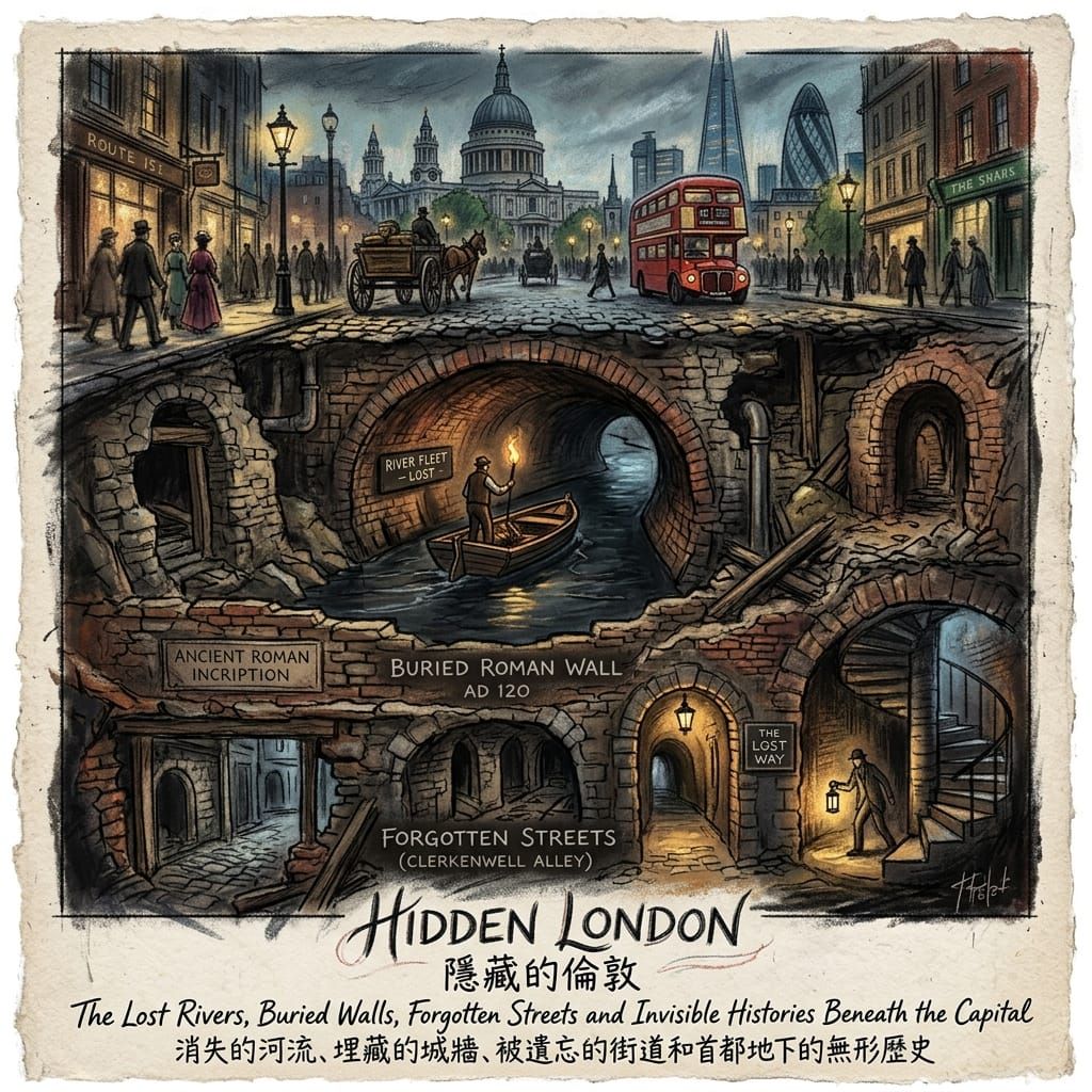
The Lost Rivers, Buried Walls, Forgotten Streets and Invisible Histories Beneath the Capital
London is famous for its landmarks.
Big Ben.
 Lawrence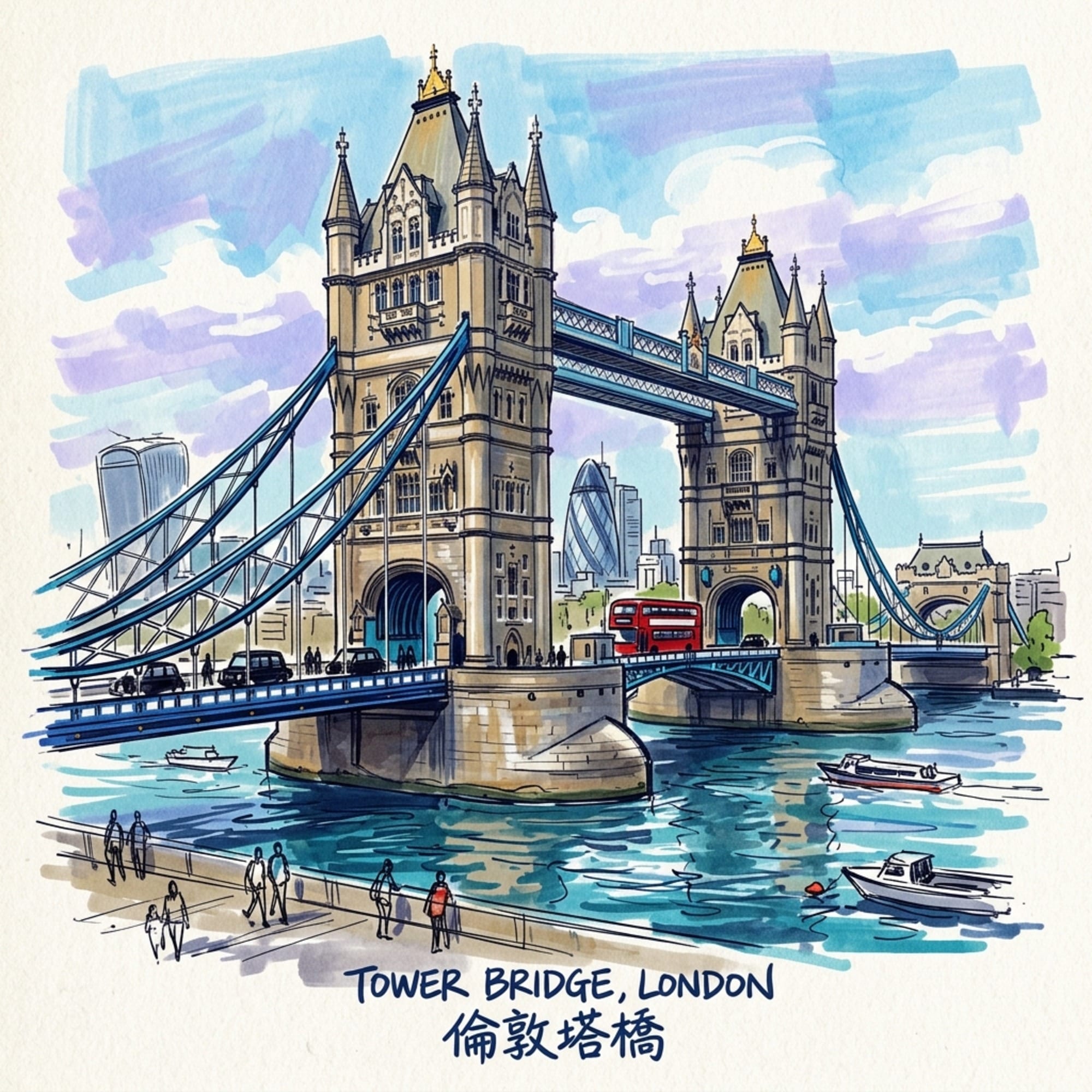
St Paul's.
Buckingham Palace.
The Underground.
The City.
But some of London's most revealing histories are found nowhere near the conventional tourist map.
They survive in a Roman wall beneath an office development.
In a river flowing underground.
In a medieval street whose shape never quite disappeared.
In a railway arch that has changed from warehouse to workshop to restaurant.
In a churchyard surrounded by skyscrapers.
In a bomb site remembered only by a plaque.
In a former industrial neighbourhood whose original purpose has almost vanished.
In a building that has changed religion, population and function several times.
This is Hidden London.
But hidden does not mean secret.
Often, the evidence is directly in front of us.
What has disappeared is the knowledge required to recognize it.
London Museum describes the capital as a landscape in which lost rivers, buried archaeology and successive layers of development remain embedded beneath modern streets. Historic England similarly emphasizes London's extraordinary archaeological and architectural time-depth. (londonmuseum.org.uk; historicengland.org.uk)
Hidden London therefore asks different questions.
What used to be here?
Why did it disappear?
What survived?
Why did it survive?
And perhaps most importantly:
What does the surviving fragment reveal about the city that produced it?
1. London Is a City of Layers
The Visible City Is Only the Top Layer
London has been continuously reconstructed for almost two thousand years.
Roman London was built over earlier landscapes.
Medieval London reused Roman boundaries.
Victorian London built over medieval streets.
Postwar London filled bomb sites.
Modern redevelopment incorporates archaeological remains into new buildings.
The result is not a simple sequence.
It is accumulation.
A modern office tower may stand over Roman foundations.
A railway line may follow a nineteenth-century industrial corridor.
A churchyard may preserve the footprint of a lost parish.
A road may follow a medieval route.
A neighbourhood may preserve the social identity of an industry that disappeared decades ago.
Hidden London exists because the city changes faster than its historical evidence disappears.


2. The Roman City Beneath Modern London
Londinium Did Not Disappear Completely
Roman London is one of the clearest examples of hidden history.
The London Museum records Roman remains across the City, including the Roman fort, London Wall, amphitheatre, temples and other archaeological structures. (londonmuseum.org.uk)
Some remains are visible.
Others are buried.
Some survive beneath modern buildings.
In 2025, archaeological excavations at 85 Gracechurch Street revealed substantial remains of London's Roman Forum and Basilica. Historic England describes the Basilica as the political, judicial, commercial and social heart of Roman London. (historicengland.org.uk)
This discovery is important because it demonstrates that even in one of the most intensively developed parts of London, major pieces of the Roman city remain underground.


The modern financial district therefore sits directly above one of Britain's most important archaeological landscapes.
3. London Wall — The Ancient Boundary Inside the Modern City
Eighteen Centuries Beneath the Streets
London Wall was constructed during the Roman period and became one of the defining boundaries of the city.
Large sections survive.
Some are exposed in gardens.
Others exist within modern developments.
A particularly revealing example is the City Wall at Vine Street, where a substantial Roman wall and bastion were incorporated into a modern development and made publicly accessible. Historic England describes the wall as approximately 1,800 years old and notes that the surviving masonry had previously remained largely hidden in a basement. (historicengland.org.uk)
Another section of the Roman riverside wall remains buried near Sugar Quay.
Historic England's research found exceptionally well-preserved Roman and medieval quays and a riverside defensive wall beneath the modern waterfront. (historicengland.org.uk)


This is one of the best examples of London's historical character:
development does not necessarily destroy the past; sometimes the past becomes part of the development.
4. The Lost Rivers of London
The Water Beneath the Streets
Some of London's most important hidden landscapes are not buildings.
They are rivers.
London Museum identifies several lost rivers and streams that were buried, diverted or incorporated into the sewer system as the city expanded. (londonmuseum.org.uk)
The Fleet.
The Walbrook.
The Tyburn.
The Effra.
The Westbourne.
These waterways once shaped settlements, agriculture, industry and trade.
Then London grew around them.
Eventually, many became inconvenient.
They flooded.
They became polluted.
They carried sewage.
So they were covered over.
The physical river disappeared.
But its geographical influence remained.


5. The Fleet — London's Greatest Buried River
From Waterway to Sewer to Archaeological Memory
The River Fleet was one of London's most important lost waterways.
London Museum describes it as vital to Roman and medieval life and industry, flowing from Hampstead and Highgate toward Blackfriars. (londonmuseum.org.uk)
The Fleet provided:
- Water
- Transport
- Food
- Industrial power
But as the population expanded, the river became increasingly polluted.
Waste and sewage accumulated.
Eventually, it was covered over.
Today, modern streets cross the buried river.
The Fleet no longer appears as a surface watercourse.
But its path still helps explain London's geography.
The hidden river changes the way you understand:
Camden → King's Cross → Holborn → Blackfriars
A modern journey becomes a historical one.
6. The Walbrook — A River Beneath the Financial District
Water, Industry and Sacred London
The Walbrook was smaller than the Fleet but historically important.
London Museum describes it as a major feature of Roman and medieval London, flowing beneath what is now the City of London before eventually entering the Thames. It has been buried since the sixteenth century. (londonmuseum.org.uk)
The river influenced:
- Settlement
- Industry
- Water supply
- Administration
- Religion
The discovery of the London Mithraeum near the Walbrook gives the hidden river an additional dimension.
A river once flowed beneath one of the busiest parts of Roman London.
A temple stood nearby.
Modern financial institutions stand above it today.
This is hidden London in its purest form:
a river, a temple and a financial district occupying the same geographical space across two thousand years.
7. The Tyburn — The River Beneath Royal London
A Lost River Under Mayfair and Buckingham Palace
The River Tyburn reveals another unexpected side of hidden geography.
London Museum records that the Tyburn flowed from the Hampstead area through Marylebone and Westminster before reaching the Thames near Pimlico. It also formed an important boundary between estates before the development of London's West End suburbs. (londonmuseum.org.uk)
Today, the river runs underground.
Above it are:
- Mayfair
- Regent's Park
- Westminster
- Buckingham Palace
This is particularly revealing.
The wealthiest areas of modern London partly occupy the landscape of a forgotten watercourse.
A river that once shaped land boundaries is now invisible beneath some of the most expensive real estate in Britain.
8. The Roman Riverside Wall — London Turns Its Back on the River
When Defence Changed the Waterfront
One of the most fascinating archaeological discoveries in recent London history is the Roman riverside wall.
Historic England notes that the massive wall was built in the third century and effectively separated the city from its waterfront, suggesting that defence had become more important than unrestricted river access. (historicengland.org.uk)
This is an important historical clue.
London's relationship with the Thames has never been static.
At one moment:
the river = trade
At another:
the river = defence
Later:
the river = industry
Today:
the river = heritage + culture + public space + environmental resource
The meaning of the waterfront keeps changing.


9. Medieval Streets Hidden Inside Modern London
The Road Beneath the Road
London's modern streets often look chaotic.
Yet some of that irregularity is historical.
The City of London notes that numerous contemporary streets and passageways retain layouts originating in the medieval period.
Street names also preserve old occupations.
Cheapside.
Bread Street.
Ironmonger Lane.
Wood Street.
Threadneedle Street.
These names are historical evidence.
The road itself may have been rebuilt many times.
The surrounding buildings may have disappeared.
But the geographical relationship survives.


This is why walking is so important to Hidden London.
The map can preserve history even when the buildings do not.
10. Lost Monasteries — When Sacred London Disappeared
The Religious Landscape That Was Removed
London once contained numerous monasteries and religious houses.
The Reformation transformed that landscape.
Religious houses were dissolved.
Land changed ownership.
Buildings were demolished, adapted or absorbed into other developments.
Some vanished completely.
Others left fragments.
Street names.
Wall sections.
Church buildings.
Courtyards.
Archaeological remains.
The absence itself becomes evidence.
You are walking through a city that once contained a much larger religious landscape.
Hidden London therefore overlaps closely with Sacred London.


11. The Lost Churches of the City
London Has More Churches Than You Can See
The City of London once contained a remarkably dense network of parish churches.
The Great Fire destroyed many.
Later redevelopment removed others.
Bombing destroyed more.
Some were rebuilt.
Some disappeared.
Some survived only as churchyards or archaeological remains.
Historic England's recent study of the City identifies 46 surviving faith buildings, demonstrating how much religious architecture remains concentrated within the Square Mile. (historicengland.org.uk)
But the missing buildings matter too.
Their absence helps reconstruct earlier neighbourhoods.


A tree-lined churchyard surrounded by offices can therefore be the final visible fragment of a medieval parish.
12. Railway Arches — The Infrastructure Beneath Modern London
When Transport Infrastructure Becomes Neighbourhood
Victorian railways transformed London.
But their arches created another hidden landscape.
The brick structures beneath railway lines became:
- Workshops
- Warehouses
- Garages
- Small factories
- Markets
- Shops
- Restaurants
- Studios
The railway itself represents modern industrial infrastructure.
The spaces beneath it often preserve the social history of the neighbourhood.

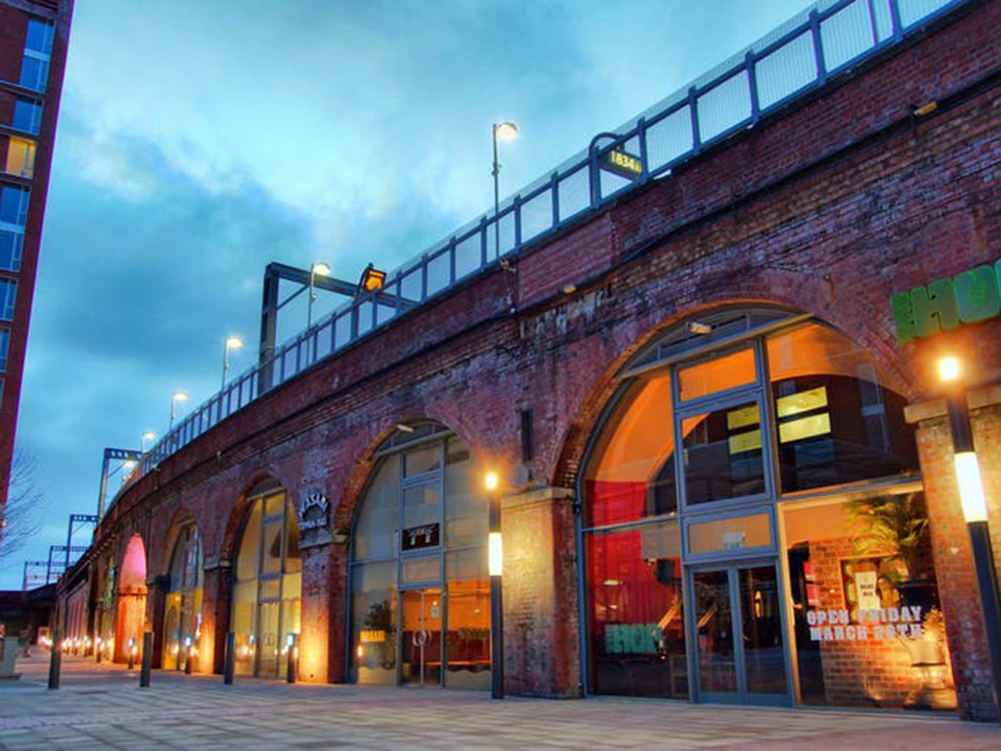
The transformation is revealing:
railway infrastructure → industrial workspace → small business → creative economy
The structure survives because London keeps finding new economic uses for old infrastructure.
13. The Railway Arch as a Working-Class Landscape
The City Beneath the Tracks
Railway arches were rarely designed to become heritage.
They were practical spaces.
Their value came from location and structure.
They were close to transport.
They could accommodate businesses.
They provided relatively cheap space.
As London's economy changed, many were occupied by independent businesses and creative industries.
This makes them part of Hidden London because they preserve something that major stations often conceal:
the everyday economic infrastructure surrounding the railway.
14. The Docks Behind the Docklands
A Landscape That Almost Disappeared
London's former docks are among the clearest examples of historical disappearance.
West India Docks.
East India Docks.
Royal Docks.
St Katharine Docks.
Surrey Commercial Docks.
These places once contained:
- Warehouses
- Cranes
- Factories
- Railway sidings
- Labour
- Cargo
- Ships
Many closed during the late twentieth century.
Some were demolished.
Others were incorporated into regeneration schemes.
The landscape changed from industrial port to commercial and residential waterfront.


Yet the water basins themselves often survive.
The geometry of the old port remains visible.
15. Canary Wharf — The New City Built Inside the Old One
When Cargo Became Capital
Canary Wharf represents one of London's most dramatic transformations.
Ships once unloaded goods here.
Warehouses stored cargo.
Dock workers handled commodities.
The docks declined.
Then offices rose.
The financial district that emerged transformed the economic identity of the area.
The result is not the destruction of the past.
It is economic replacement within surviving geography.


The old dock water remains.
Modern towers rise around it.
That contrast is one of the most powerful expressions of Hidden London.
16. Hidden Industrial London
The Factories That Became Something Else
London was once an enormous manufacturing city.
Factories produced:
- Food
- Clothing
- Chemicals
- Machinery
- Furniture
- Printing
- Consumer goods
Many disappeared.
Some were demolished.
Others were converted.
Former industrial buildings now contain:
- Apartments
- Studios
- Offices
- Restaurants
- Galleries
- Cultural venues
The buildings survive because the city found new economic value in them.


Adaptive reuse therefore becomes one of the central processes of Hidden London.
17. The Hidden Working-Class City
The London Behind the Grand Buildings
London's historic narrative often emphasizes:
Kings.
Queens.
Parliament.
Finance.
Cathedrals.
But the capital was also built by:
- Dock workers
- Factory workers
- Market traders
- Railway workers
- Porters
- Builders
- Domestic servants
- Street vendors
Their communities often occupied the most intensely developed parts of the city.
Some neighbourhoods survived.
Others were demolished.
Some were transformed beyond recognition.
Hidden London restores these ordinary lives to the historical map.


18. Bomb Sites — The Invisible Geography of the Blitz
London Still Carries the Map of Wartime Destruction
The Blitz destroyed enormous areas of London.
But not every bomb site became a museum or memorial.
Many disappeared beneath later development.
Others remained as:
- Parks
- Car parks
- Housing estates
- Office developments
- Empty plots
- Memorials
Some are marked by small plaques.
Others are visible only through changes in building alignment.
The Stainer Street bombing site near London Bridge, where a 1941 air raid caused 68 deaths and 175 injuries, is one example of a surviving memorial to a wartime event that could otherwise be forgotten.
These small traces are crucial.
They connect ordinary streets with events that transformed the city.
19. The Blitz Churchyards
Destruction Leaves Uneven Memory
Some buildings were rebuilt after wartime destruction.
Others disappeared.
This uneven survival creates strange historical landscapes.
A churchyard may survive while the surrounding church does not.
A modern building may occupy a bomb site.
A memorial may stand beside an ordinary street.
A rebuilt church may conceal evidence of its predecessor.
The postwar city therefore contains a fragmented archaeology of wartime London.
The historian has to read absence as carefully as presence.
20. Cemeteries — London's Forgotten Archives
The Dead Preserve the Social History of the Living
London's cemeteries can reveal histories that are difficult to see elsewhere.
They preserve:
- Names
- Occupations
- Migration
- Wealth
- Disease
- Religious identity
- Family structures
- Social inequality
Places such as Highgate Cemetery, Kensal Green and Bunhill Fields contain layers of cultural and social history.
Bunhill Fields preserves the memory of Nonconformist communities.
Highgate reflects Victorian attitudes toward death, architecture and landscape.
Jewish cemeteries reveal another dimension of migration and religious community.
A cemetery is therefore not simply a place for the dead.
It is an archive of the living society that created it.
21. The Hidden Religious City
Buildings That Changed Faiths
London contains religious buildings whose identities changed as communities changed.
This is particularly visible in the East End.
The building now known as Jamme Masjid began as a synagogue in 1898 and became a mosque in 1976, reflecting successive waves of migration and religious change. (londonmuseum.org.uk)
The building did not simply disappear when the community changed.
It acquired a new identity.
This is one of the most powerful forms of urban continuity:
same building + different community + different history
Hidden London therefore overlaps directly with Sacred London.
22. Hidden Jewish London
The Community Behind the Modern East End
Large-scale Jewish migration transformed parts of the East End from the late nineteenth century onward.
The London Museum records that around 150,000 Jewish refugees from Eastern Europe and Russia arrived in Britain between 1880 and 1914, with large numbers settling in London's East End. (londonmuseum.org.uk)
This history survives in:
- Synagogues
- Markets
- Buildings
- Street names
- Businesses
- Cemeteries
- Archives
- Family histories
Many traces are easy to miss.
That is exactly why they belong within Hidden London.
23. Hidden Migration Histories
The City Changes Through the People Who Move Into It
Modern London's multicultural character can be read through its buildings.
A synagogue.
A mosque.
A Caribbean church.
A Sikh gurdwara.
A Hindu temple.
A community centre.
A market.
Each may reveal a different migration story.
But migration history can also be hidden inside ordinary buildings.
A shop.
A house.
A café.
A former workshop.
A street.
The history is sometimes invisible until the people who lived there are remembered.


24. London's Forgotten Waterways Beyond the River
The City Was Once Much More Watery
The Thames receives most of the attention.
But London's smaller rivers and streams once influenced huge parts of the metropolis.
The Fleet.
Walbrook.
Tyburn.
Effra.
Westbourne.
These waterways shaped:
- Boundaries
- Settlements
- Agriculture
- Industry
- Roads
- Drainage
- Public health
When they disappeared underground, their influence did not completely vanish.
Roads still follow their routes.
Street names preserve them.
Land levels reflect them.
Flooding can reveal them.
Buildings sometimes follow their former boundaries.
London Museum describes these lost rivers as essential clues to understanding the city's historical development. (londonmuseum.org.uk)
25. The Hidden Geography of Flooding
The Past Can Return Through Water
Buried rivers are not necessarily dead.
Heavy rainfall can reveal their presence.
Flooding can follow historical watercourses.
Drainage systems still interact with the old geography.
This is an important lesson in urban history.
Modern infrastructure may cover the landscape.
But nature can continue to remember it.
The old river beneath the street is not merely archaeological evidence.
It can remain part of the physical behaviour of the city.
26. Hidden London and Adaptive Reuse
When the City Gives Old Buildings New Lives
London's history is full of buildings that survive because they acquire new purposes.
Factories become studios.
Warehouses become restaurants.
Railway arches become businesses.
Markets become cultural destinations.
Religious buildings change communities.
Industrial sites become housing.
This process can preserve architecture.
But it also changes meaning.
An old building may survive physically while the society that created it disappears.
That distinction is important.
Preserving a building is not necessarily the same as preserving its history.
27. What Is Lost When London Redevelops?
The Absence Is Part of the Story
Some London histories are impossible to visit.
A demolished neighbourhood.
A vanished market.
A destroyed factory.
A closed railway.
A lost monastery.
A buried river.
A cleared bomb site.
A displaced community.
These absences matter.
They show that London's famous continuity has always existed alongside enormous historical loss.
Hidden London should therefore include both:
survival
and
disappearance
Otherwise the city's history becomes too comfortable.
28. Hidden London Is Not Nostalgic London
The Past Was Not Always Better
There is a temptation to romanticize old London.
Old markets become charming.
Industrial buildings become fashionable.
Victorian streets become photogenic.
Ancient ruins become picturesque.
But the historical reality was often difficult.
Industrial London was polluted.
Working-class housing could be overcrowded.
Factories could be dangerous.
Markets could be chaotic.
Rivers could be filthy.
Cemeteries could be overcrowded.
Migration could involve poverty and discrimination.
A serious historical travel guide should not transform hardship into decoration.
Hidden London is valuable precisely because it allows the difficult parts of London's history to remain visible.
29. The Hidden City in the City of London
The Financial District Has Two Thousand Years Beneath It
The modern City of London is one of the world's most sophisticated financial centres.
But beneath the towers are:
- Roman walls
- Roman forums
- Roman temples
- Medieval streets
- Medieval churches
- Post-Fire architecture
- Victorian infrastructure
The 2025 discovery at 85 Gracechurch Street demonstrates that even major Roman civic structures remain beneath modern development. (historicengland.org.uk)
This makes the City one of the best places to experience London's vertical history.
Not just one period.
Several periods occupying the same footprint.


30. Hidden London Walking Routes
Route 1 — Roman London Beneath the City
Tower Hill → London Wall → Vine Street → Barbican → Gracechurch Street → London Mithraeum
Historical focus:
Roman fortifications, forum, river wall, temples and the survival of archaeology within modern development.
Route 2 — The Lost River Fleet
Hampstead Heath → Kentish Town → Camden → King's Cross → Holborn → Blackfriars
Historical focus:
the buried Fleet, industrialization, drainage and the transformation of northern London.
Route 3 — The Invisible Medieval City
Cheapside → narrow City lanes → churchyards → old market sites
Historical focus:
medieval street patterns, guilds, churches and markets.
Route 4 — Industrial London Beneath the Railway
Southwark → railway arches → Bermondsey → former industrial districts
Historical focus:
railways, warehouses, workers and adaptive reuse.


Route 5 — The Memory of the Blitz
London Bridge → Stainer Street → City → St Paul's
Historical focus:
wartime destruction, memorials, bomb sites and postwar rebuilding.
Route 6 — Hidden Religious London
Bevis Marks → Spitalfields → Brick Lane → Whitechapel
Historical focus:
Jewish migration, synagogues, changing communities and the conversion of sacred spaces.
31. Hidden London Across the Authority Graph
Hidden + Ancient & Medieval London
Roman archaeology, lost rivers, medieval street plans and buried buildings reveal the physical London beneath the modern city.
 Lawrence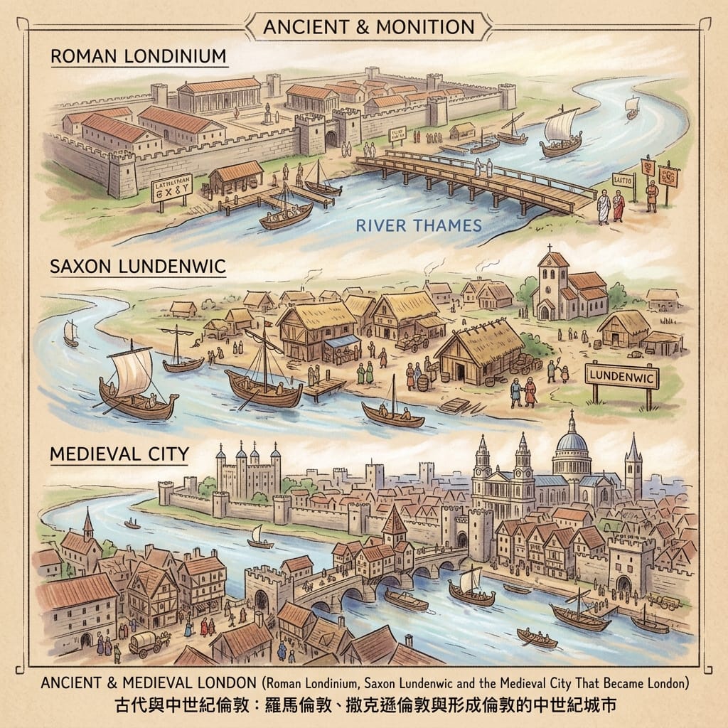
Hidden + Royal & Political London
Lost palaces, former royal spaces, political memorials and forgotten government landscapes reveal the less visible history of political London.
 Lawrence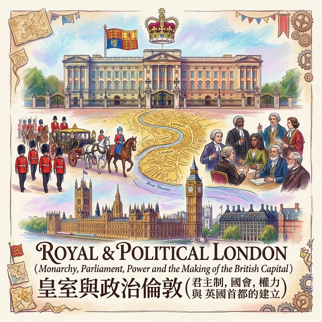
Hidden + Sacred London
Lost monasteries, vanished churches, cemeteries, synagogues and converted places of worship reveal London's changing religious geography.
 Lawrence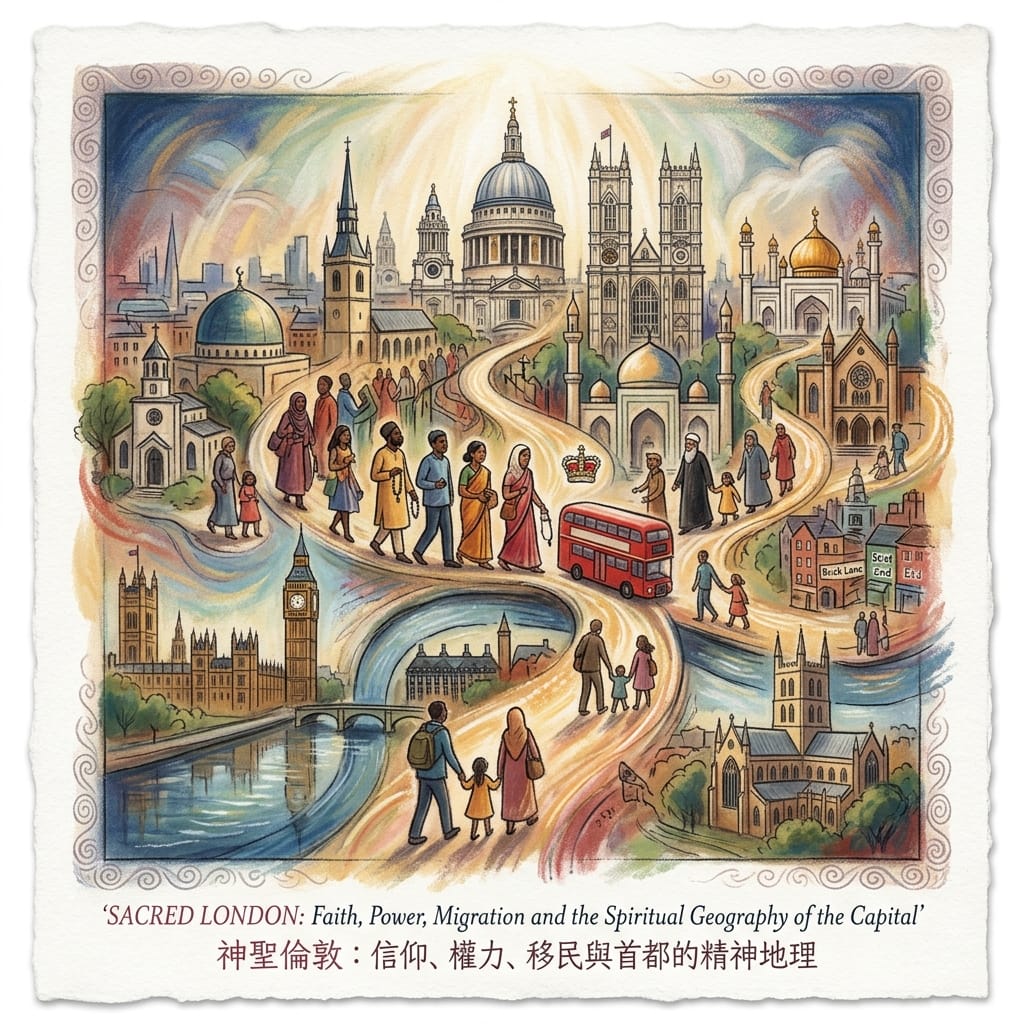
Hidden + Commercial & Industrial London
Factories, warehouses, railway arches, markets and former docks preserve the physical evidence of London's economic past.
 Lawrence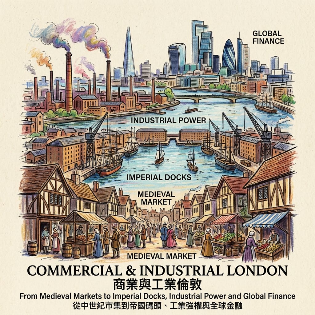
Hidden + Modern London
Bomb sites, postwar estates, industrial remnants, regeneration landscapes and displaced communities reveal the processes that produced contemporary London.
 Lawrence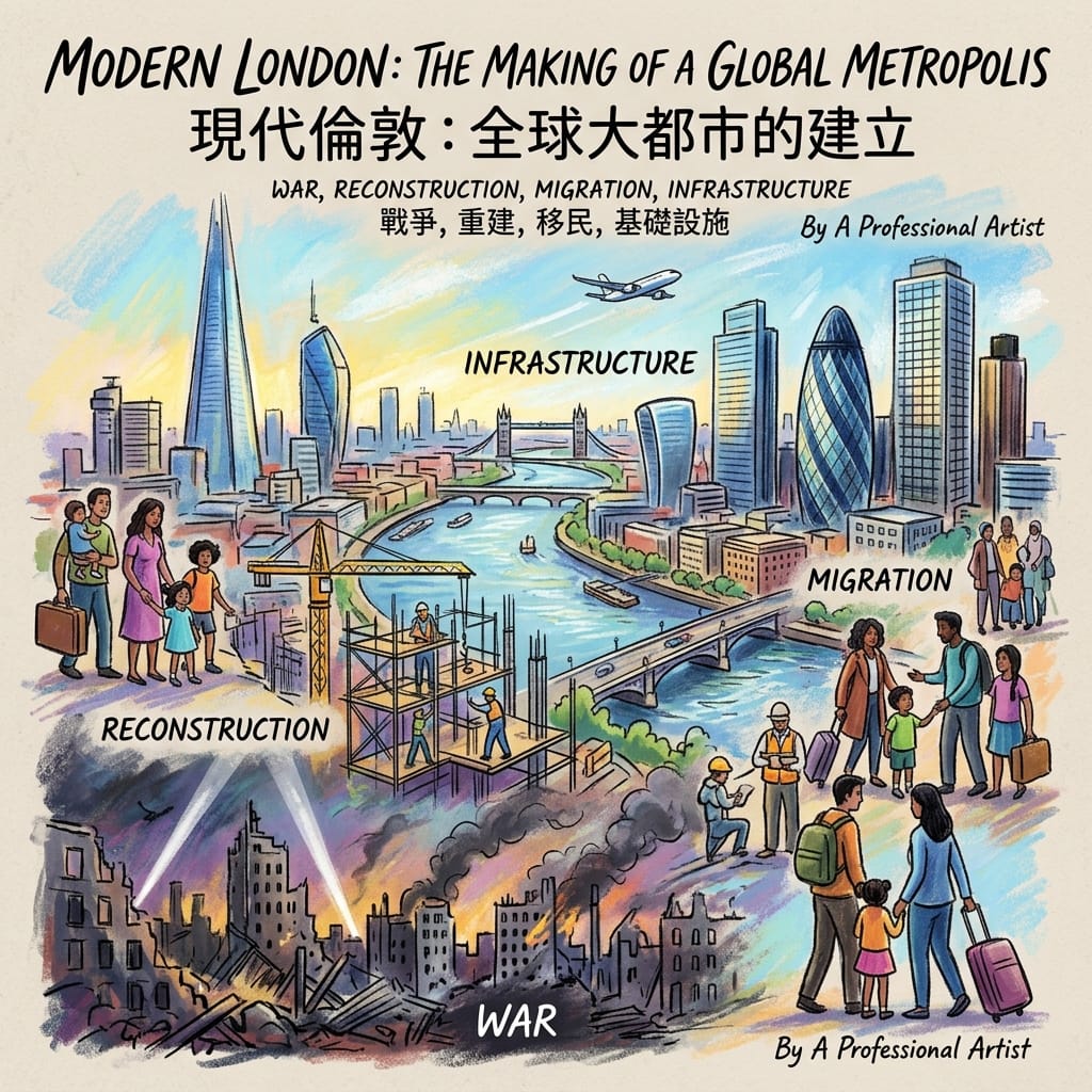
Hidden London therefore acts as the connective tissue across the entire London historical authority graph.
32. The Five Questions of Hidden London
Every Hidden London article can be built around five questions.
What was here?
Identify the original landscape.
Why was it important?
Explain its economic, political, religious or social function.
What happened?
Identify the transformation, destruction, abandonment or redevelopment.
What survived?
Look for buildings, streets, archaeology, names, maps or memories.
Why does it matter now?
Connect the historical evidence to the modern city.
This methodology turns “hidden gem” tourism into historical research.
33. What Hidden London Reveals About the Capital
Hidden places reveal things that famous landmarks often cannot.
They show:
- How ordinary people lived
- Where workers worked
- Where migrants settled
- How industries changed
- How rivers shaped neighbourhoods
- How disasters transformed communities
- How religious traditions adapted
- How redevelopment changed social geography
A palace tells you where power lived.
A factory tells you who worked.
A lost river tells you how the landscape once functioned.
A railway arch tells you how infrastructure created neighbourhood economies.
A churchyard tells you who was remembered.
A bomb-site plaque tells you what the city once endured.
Hidden London therefore expands the historical record.
34. Why Hidden London Matters
A city can be famous and still be poorly understood.
London is one of the world's most photographed cities.
Yet photography often captures only the newest layer.
Hidden London asks readers to look beneath that layer.
Not literally in every case.
Historically.
Geographically.
Socially.
A building becomes evidence.
A street becomes a map.
A river becomes a memory.
A cemetery becomes an archive.
A railway arch becomes an economic record.
A vacant plot becomes evidence of destruction.
This way of seeing turns the entire city into a historical document.
Final Reflection — The London That Remained After London Changed
London has repeatedly tried to move forward.
Roman London became medieval London.
Lundenwic disappeared.
The City was rebuilt.
Monasteries vanished.
The Great Fire transformed the skyline.
Factories disappeared.
Docks closed.
Railways changed.
Neighbourhoods were redeveloped.
Bomb sites became new streets.
Rivers were buried.
Communities moved.
And yet London never became completely new.
Something remained.
A wall.
A road.
A name.
A churchyard.
A bridge.
A warehouse.
A market.
A railway arch.
A river beneath the pavement.
A memory attached to a street.
These fragments matter because they show that urban change is never complete.
The city can demolish buildings.
It cannot completely erase geography.
It can bury rivers.
It cannot erase their influence.
It can redevelop neighbourhoods.
It cannot completely erase the memories of the people who lived there.
It can replace an economy.
It cannot remove every trace of the one that came before.
That is the deeper meaning of Hidden London.
It is not a collection of places that tourists have failed to discover.
It is the record of everything London changed without being able to completely erase.
Historical Sources & Further Reading
London Museum
London Museum is particularly valuable for lost rivers, Roman remains, Lundenwic, migration histories and London's changing communities. Its lost-rivers research identifies the Fleet, Walbrook, Tyburn, Effra and Westbourne as major hidden elements of the city's historical geography. (londonmuseum.org.uk)
Its Roman collections provide evidence for the fort, London Wall, Roman public buildings and the archaeological layers beneath the City. (londonmuseum.org.uk)
Historic England
Historic England is essential for London's archaeological and architectural time-depth.
Its recent research on the Roman Forum at Gracechurch Street and the Roman riverside wall demonstrates that major discoveries continue to emerge from beneath modern development. (historicengland.org.uk; historicengland.org.uk)
City of London Corporation
The City provides valuable research on medieval streets, historic markets, churches and the surviving urban structure of the Square Mile.
Other Important Sources
- Museum of London Archaeology
- London Metropolitan Archives
- Historic Royal Palaces
- British Library
- National Archives
- Imperial War Museums
- London Transport Museum
- Canal & River Trust
- City of London Corporation
- Greater London Authority
- Local borough archives
- Community oral-history projects
- Jewish Museum London
- Local religious and cultural archives
Continue Exploring London
Ancient & Medieval London
 Lawrence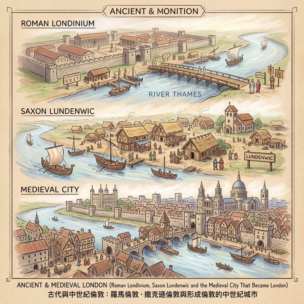
→ Roman Londinium
→ London Wall
→ Lundenwic
→ Medieval London
→ London Bridge
→ Medieval markets
Royal & Political London
 Lawrence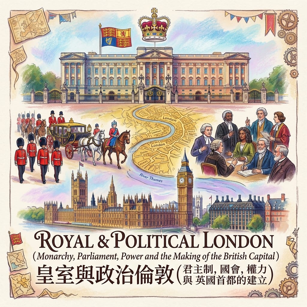
→ Tower of London
→ Westminster
→ Whitehall
→ Parliament
→ Lost royal landscapes
Sacred London
 Lawrence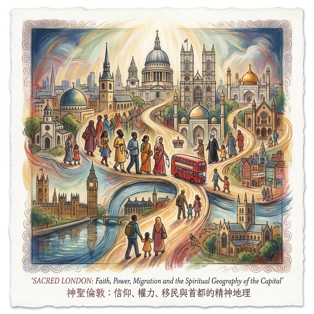
→ Lost monasteries
→ Medieval churches
→ St Paul's
→ Jewish London
→ Muslim London
→ Hidden religious buildings
Commercial & Industrial London
 Lawrence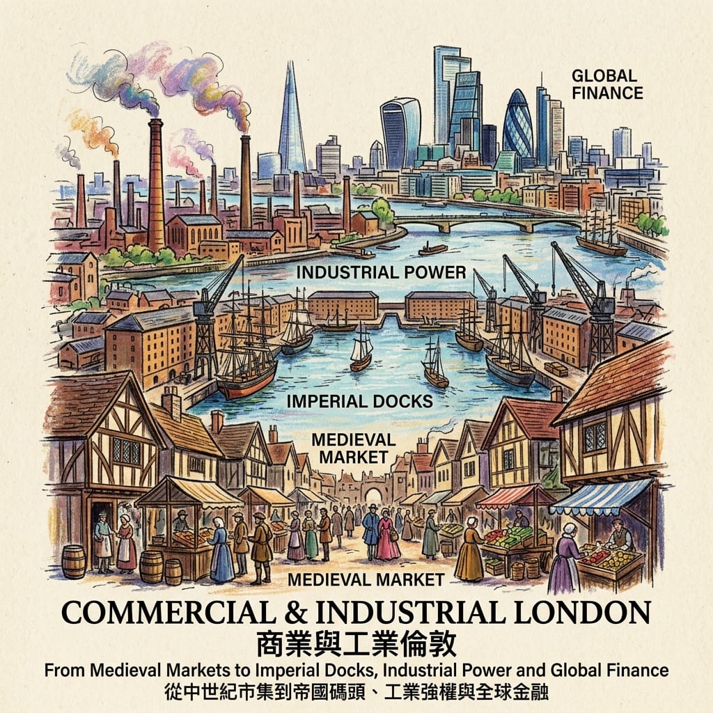
→ Lost markets
→ Railway arches
→ Industrial districts
→ West India Docks
→ Royal Docks
→ Docklands
Modern London
 Lawrence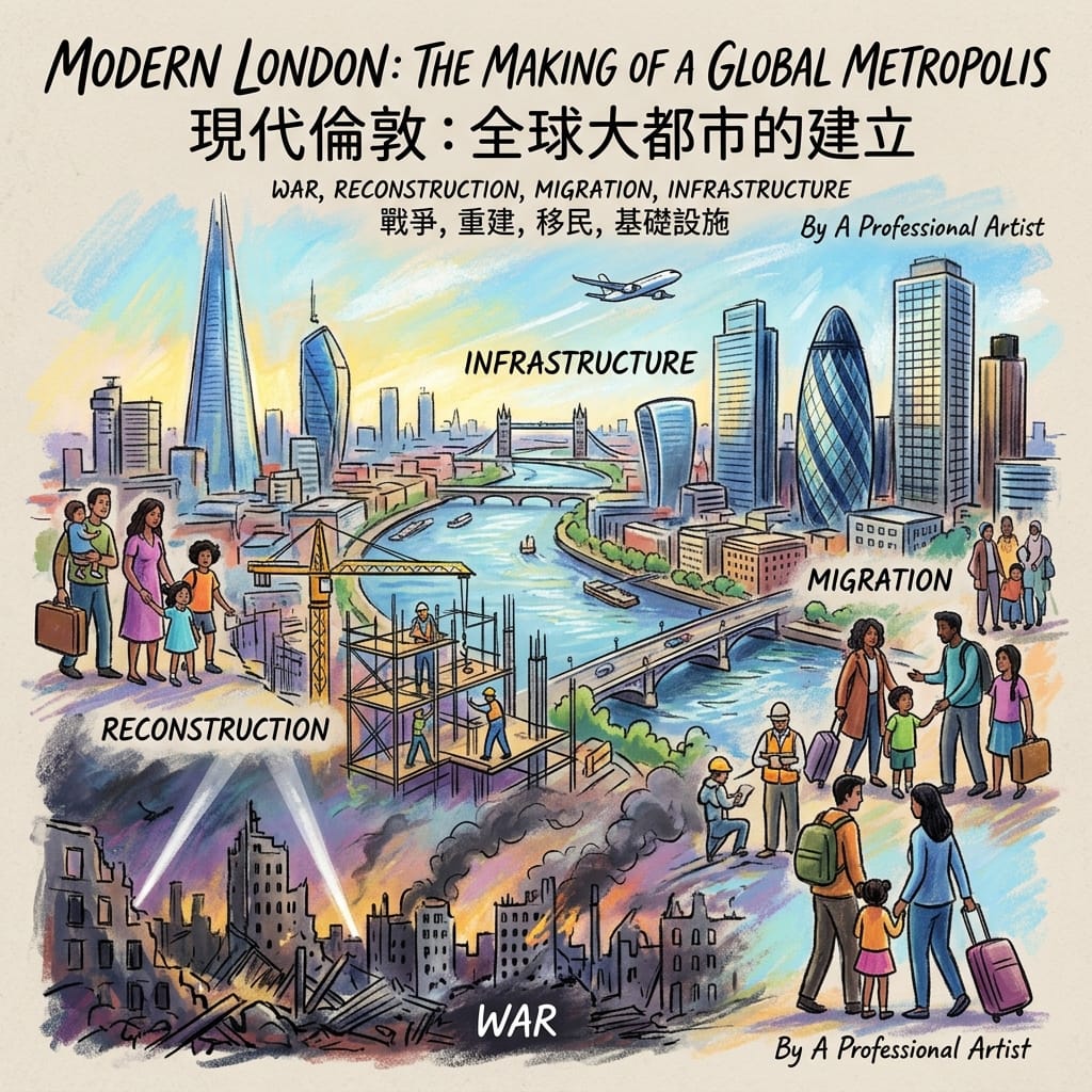
→ Blitz sites
→ Postwar estates
→ Regeneration
→ Migration
→ Docklands
→ Stratford
Hidden London
 Lawrence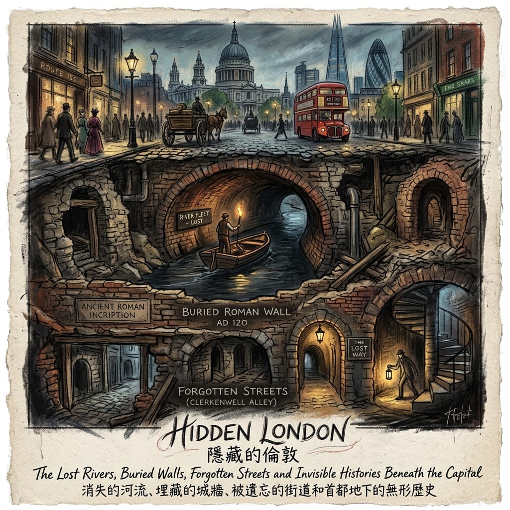
→ Roman archaeology
→ Lost rivers
→ Medieval streets
→ Forgotten churches
→ Railway arches
→ Bomb sites
→ Cemeteries
→ Disappeared communities
HIDDEN LONDON
A Roman wall beneath an office.
A river beneath a pavement.
A medieval street beneath a modern road.
A monastery remembered only by a street name.
A factory transformed into apartments.
A railway arch still occupied by small businesses.
A cemetery hidden behind trees.
A bomb site marked by a small plaque.
A synagogue that became a mosque.
A dock that became a financial district.
These are not random curiosities.
They are fragments of London's memory.
The visible city tells you what London has become.
Hidden London tells you what London had to become something else first.